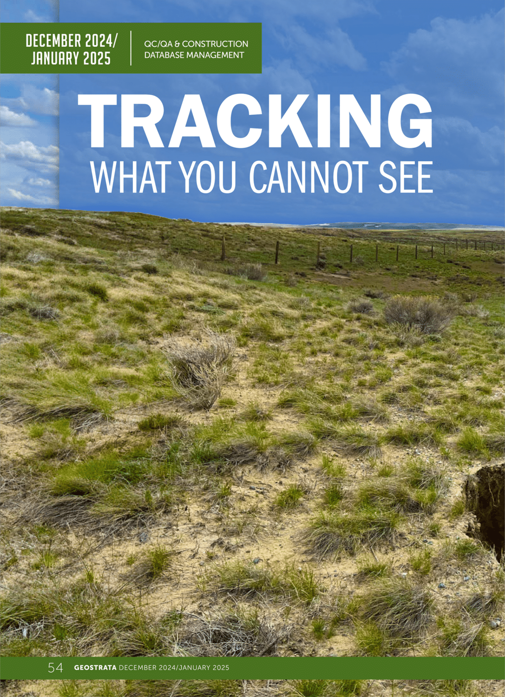
 Subsidence mitigation of underground coal mines is an iterative process that involves the collection and interpretation of numerous data sets, including but not limited to historic mine maps, age, depth to mine workings, overlying geology, groundwater regimes, mitigation data from prior projects, boreholes, drill angles, injected material quantities, and more. GIS is the perfect tool to collect, maintain, and interpret this data in real-time. As imaging and GIS technology have evolved, Brierley’s Subsidence Mitigation Team have developed tools that can be used in the field, the office, the client or owner, and even the public. These ESRI ArcGIS Pro, Field Maps, and Dashboard Applications allow us to view, understand, and improve mitigation methods. Using these tools in Wyoming for example, the Brierley Team tracked the drilling of more than 5,000 new boreholes, 1,000 historic boreholes, and over 200,000 cy of grout injected. These GIS databases help guide field decisions through better amalgamation and visualization of data, resulting in an increase in the accuracy of cost estimates by up to 20 percent.
This data can also be used to measure the effectiveness of these efforts through change detection analysis measuring differences over time in vegetation, topography, and hydrology. For example, if pre-mitigation imagery indicates a topographic depression (i.e. sinkhole) and mitigation imagery shows the same sinkhole and ground movement away from the sinkhole location, the project team can adjust its mitigation strategy to improve results.
Josh Zimmermann, Clifton Simmons, and Mila Brown describe these processes in a recent issue of Geostrada Magazine from the Geo-institute.